

Complete Guide to the Wolf River
Beginning in northern Mississippi, the spring-fed Wolf River runs west through Shelby and Fayette Counties in Tennessee to its confluence with the mighty Mississippi River in Memphis. The Chickasaw, who called the river ‘Nashoba,’ cherished the Wolf for its wetlands, wildlife diversity, and as a food source. Later, the towns of La Grange, Moscow, Rossville, Collierville, Germantown, and Raleigh popped up on the river’s banks. Each town played a role in the rich history of the area, and the Wolf River was often the lifeblood of these towns.
The river offers a wide variety of outdoor activities, thanks to the recreationists who have worked to protect it. Paddlers and fishermen alike knew the insanely beautiful landscapes that the Wolf contains, and along with Wolf River Conservancy, led the charge to save the 4,000-acre Ghost River section of the Wolf River. Recreation helped grow protected lands, which in turn grew recreation further—and the cycle continues today.
Here, we highlight some of the best outdoor hotspots within one mile of the Wolf River.
Paddling

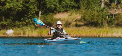
The Ghost River section winds through scenic wetlands and is one of the most popular paddling routes of the Wolf River. Ryan Hall
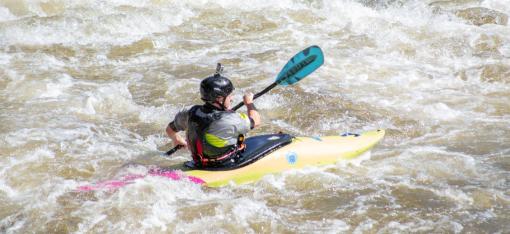
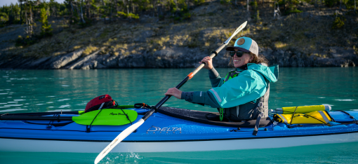
Unsurprisingly, paddling is the most popular activity on the 90-mile Wolf River. Between the Bluff City Canoe Club (BCCC), Wolf River Conservancy, and several outfitters, there are seemingly endless trip opportunities down the Wolf. The sections are briefly described below from upstream to the confluence with the Mississippi River, and you can find more information and maps here.
-
** US Highway 72 to Michigan City, MS:** The state of Mississippi declares US Hwy 72 the start of public waterway for the Wolf River. This very wild and unmarked section is best paddled in the spring, when the water levels are high enough to navigate the hidden twists and turns. Take someone who has paddled this section before with you, as it is very easy to get lost and no group maintains the water trail.
-
Michigan City, MS to La Grange, TN: Water trail maintenance begins in Michigan City and continues for the next 75 miles to where the Wolf meets the Mississippi River. This 6-mile section is the most scenic segment, and has a defined channel the whole way. Paddlers see what the urban reaches of the river once looked like—low banks, frequently flooded, and an excellent wildlife habitat.
-
Ghost River Section: The most popular section of the river runs nine miles through diverse ecological communities. Starting with a defined channel, the river turns and dissipates into a braided system of flowing and enchantingly beautiful swampland. Thankfully, the trail is clearly marked so very few people get lost.
-
Lost Swamp Trail: Begin at the most-used boat ramp at Bateman Road, and meander six miles through very scenic herbaceous and bald cypress-dominated wetlands, ending at the town of Moscow.
-
Moscow to Rossville: This is the longest section of the river without any road crossings. This delightfully remote water trail requires with some portages over down trees. This 13.7-mile trip will take all day, so you’ll need to plan ahead.
-
Rossville to Collierville-Arlington Road: Put-in at William B. Clark Conservation Area (Clark Preserve) and follow it for just over 10 miles into Shelby County. You can also choose to make shorter trips by using the newest boat access in Piperton for quick (6.4 and 3.9 miles) and very scenic trips close to Memphis.
-
Suburban Sections: Collierville-Arlington Road to Houston Levee has several limestone weirs on the river bottom that will tear up a boat if the water levels aren’t between 6-8 feet, so check the La Grange gauge before you go. Houston Levee to Germantown Parkway is an easy paddle to make in a time crunch, and so is the trip to Walnut Grove Road.
-
Urban Sections: While wildlife and scenery are not as diverse as in the other areas, a quick getaway from the hustle and bustle is easy on an urban Wolf River paddle. There are many ways to break up the 13.6-mile urban run of the Wolf into smaller sections.
Hiking
The source of the Wolf River is in Holly Springs National Forest in Mississippi. Ryan Hall
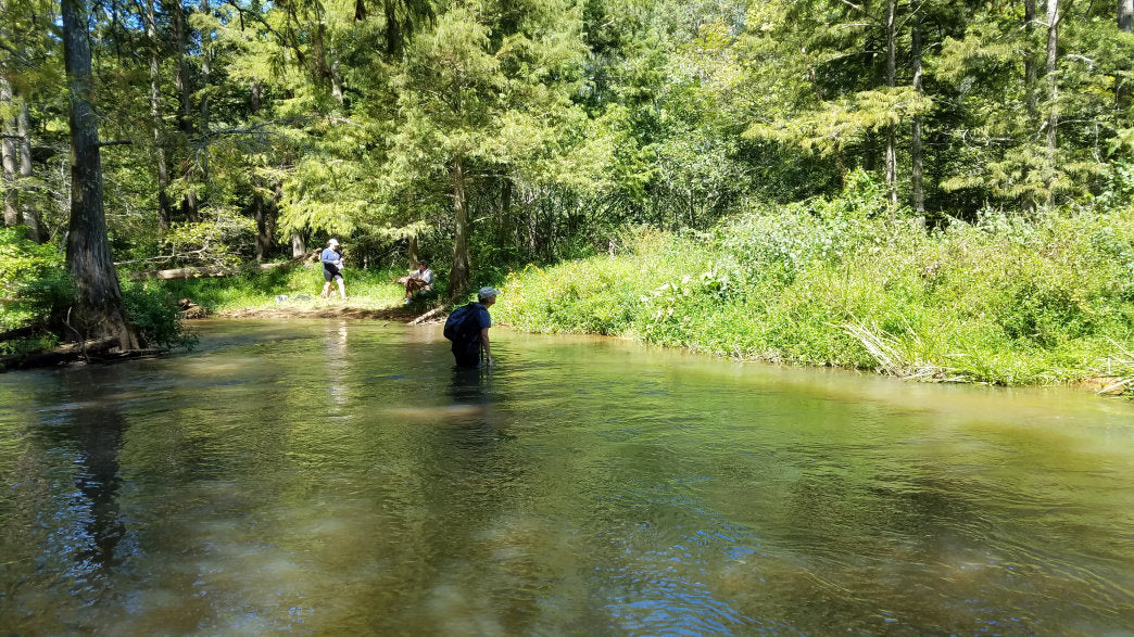
Unpaved hiking trails are located along the Wolf River in clustered zones. Starting at Baker’s Pond, the source of the Wolf River, you’ll find a nice trail around the pond in Holly Springs National Forest in Benton County, Mississippi. The gravel trail is about a mile long and takes you to a ridge overlooking the pond.
About 30 minutes from Baker’s Pond is the first of three great boardwalks along the Wolf River in Ghost River State Natural Area, where a 600-foot elevated platform crosses Mineral (Minnow) Slough through a bottomland hardwood swamp. The William B. Clark Conservation Area in Rossville has a raised boardwalk through a bald cypress and water tupelo wetland forest, and the third boardwalk is at W.C. Johnson Park, one of the premier parks of Collierville. The park also has 3.15 miles of unpaved trails, numerous ball fields, and a splash park.
Also in the Collierville Area, the Wolf River Wildlife Area (WRWA) boasts more than 2,000 acres of protected land, with a 5-mile crushed gravel trail that will eventually extend for eight miles.
Venture further downstream to Shelby Farms Park, where 40-plus miles of riverside trails weave through the park, which includes the Lucius E. Burch State Natural Area (LBSNA). And finally, JFK Park in the Raleigh neighborhood of Memphis has a 1.25-mile trail and primitive boardwalk with shockingly diverse wildlife.
Cycling

The Wolf River Greenway, open for hiking and cycling, meanders through protected forests and wetlands. Ryan Hall
The bicycle infrastructure along the Wolf River continues to grow, which means cyclists have more and more options each year. The Wolf River Greenway is a paved trail that currently begins in east Memphis and goes well into Germantown, connecting with more parks and trails there. Eventually, the greenway will run 36 miles from Mud Island in Downtown Memphis all the way out to Collierville. The Mississippi River Trail already runs through Mud Island and along the outskirts of Memphis, giving cyclists another option for putting in more mileage.
Memphis is also home to the 10.65-mile Shelby Farms Greenline, which crosses the Wolf River on its way from Midtown to the Cordova Depot.
The Future of the Wolf River

Opportunities to explore nature around the Wolf River continue to grow. Ryan Hall
Within the city of Memphis, the Wolf River Greenway is anticipated to be completed by 2020. Future extensions into Fayette County are part of the vision as well, and mountain biking, hiking, and cycling are also planned to grow with the build-out of the greenway.
Additional boat ramps, such as in Michigan City, Mississippi, are slated for construction to make access to Wolf River easier.
All of these exciting advancements in outdoor recreation are to help more people experience what Wolf River Conservancy calls the #WonderoftheWolf.
Originally written by RootsRated for BCBS of Tennessee.