Vancouver Island: A Paddling Paradise

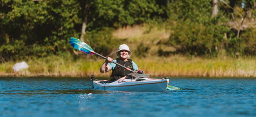
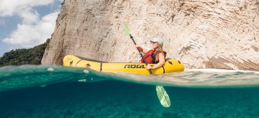
Ocean Paddling Around the Island
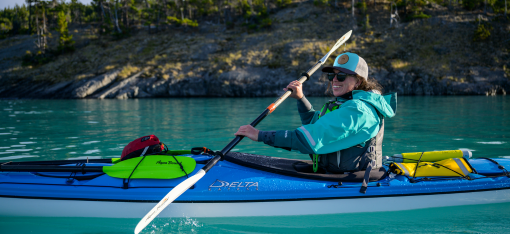
Vancouver Island is truly a paddler’s paradise with over 2,000 miles of shoreline. In addition there are hundreds of smaller islands in the surrounding waters and innumerable bays and inlets along the British Columbia coast.
HelloBC.com describes Vancouver Island as:
“…one of the world's most diverse ecosystems: Rain forests, marshes, meadows, beaches, mountains, oceans, rivers and lakes create habitats for multitudes of wildlife species. In fact, the region is one of the world's premier locations for whale watching, birding, as well as salmon and trout fishing.”
The major coastal draws for sea kayaking tours are the Gulf Islands, the Broken Group and the Deer Group.
The Gulf Islands sit in the Strait of Georgia that separates the Island from the mainland. The largest few of the 300 islands are inhabited and have their own history and culture. Gulf Islands National Park Reserve covers 16 of the islands, plus some islets and reef areas.
The Broken Group is on the southwest coast of Vancouver Island. Over 100 islands and islets are sheltered within Barkley Sound, and so provide a coastal kayaking environment even for less-experienced paddlers.
The Deer Group, also in Barkley Sound, is less famous than the Broken Group. So if you’re looking for a more secluded kayaking experience with the same amazing scenery and ocean experience, this may be the place for you.

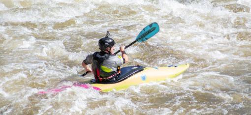
Lake and River Paddling On the Island
Calvin Peters, of Western Canoeing & Kayaking, lives on the mainland near Vancouver and spends a lot of time on the Island. He says:
“The paddling opportunities around the Island are endless. There are hundreds of small lakes, beautiful rivers for the more adventurous crowd, and gorgeous ocean paddling. For lake paddling Thetis Lake near Victoria is popular. Further north Sproat, Cowichan and Buttle Lakes are big draws.
“However I think the real gold is that for a little extra research and effort you can reach hundreds of little dots on the map if you don't mind following a logging road for a bit.
“For example, Della Falls is seldom visited, but is one of Canada's tallest waterfalls at 179 meters (roughly 550 feet). You can paddle to the end of Great Central Lake then hike in.

Wildlife to Look For
The Vancouver Island waters are famous for its orcas (killer whales) and migrating humpback and gray whales. The best time to see these giants:
- Orcas—May through October. They’re residents.
- Grays—A handful of gray whales spend the season around the Island. But March and April is the best time to see several thousand as they migrate through.
- Humpbacks—Humpbacks hang out farther to the north end of Vancouver Island and can be seen almost any time of the year.
Other common marine mammals here are seals, dolphins, porpoises and sea otters. The large land mammals on the Island include black bears, cougars, wolves, elk and deer. This is a great place for birding. And, of course, the area is world-famous for its salmon fishing.

With Vancouver Island’s mild temperatures, stunning beauty, miles upon miles of coastline, hundreds of lake and rivers…What are you waiting for?!
More posts for you…
- Complete Guide to the Wolf River (Mississippi)
- Sea Kayaking in the Channel Islands, Alaska
- Aqua-Bound Kayak Paddles in Las Vegas
(Sources: Vancouver Island Whale Watching; Vancouver Island Wildlife)